Getupthere
Regular
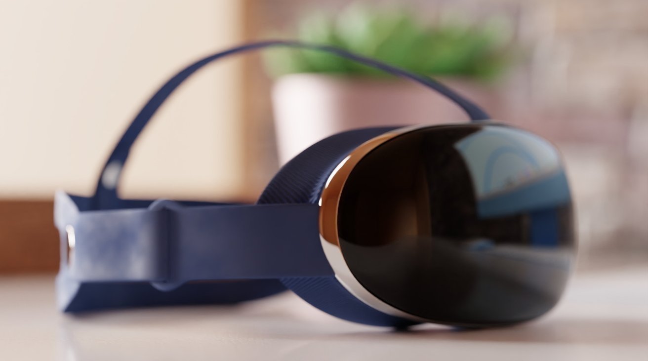
Apple's AR headset to automatically adjust lenses for perfect images | AppleInsider
Apple's long-rumored AR and VR headset will use motors to automatically adjust lenses for the user, new details about the inbound product surface, as Apple gets even closer to launching it.
 appleinsider.com
Apple's AR headset to automatically adjust lenses for perfect images | AppleInsider
Apple's long-rumored AR and VR headset will use motors to automatically adjust lenses for the user, new details about the inbound product surface, as Apple gets even closer to launching it.
Sensors and Chips
The headset will have more than a dozen cameras and sensors, which will capture facial expressions and body movements, including the user's legs. At least one camera will be used to capture eye movements, which can enable battery-saving foveated rendering to be performed.While cameras were originally thought to track eyebrow and jaw movements, one source claims the headset now uses machine learning to capture facial expressions.
The sensor list will include short and long-range LiDARs, used to track the environment around the user. Those sensors will be hidden as much as possible, with the aluminum and glass construction used to maintain Apple's famed aesthetics.
A pair of chips will be used for processing, with "Bora" being an image signal processor, while "Staten" is a SoC. Produced using a 5-nanometer process, the two will work together for tracking the environment and movements, however Apple had to create more silicon to minimize lag between the two.
Multiple swappable headbands are touted, including one intended for developers and another with speakers for consumers. Rather than using Bluetooth or a physical headphone jack, Apple instead intends for users to use AirPodsand the H2 chip for low-latency communications.
On controls, hand tracking and voice recognition is preferred, however a wand and finger thimble have also been tested. A final control scheme has yet to be decided upon.


")

